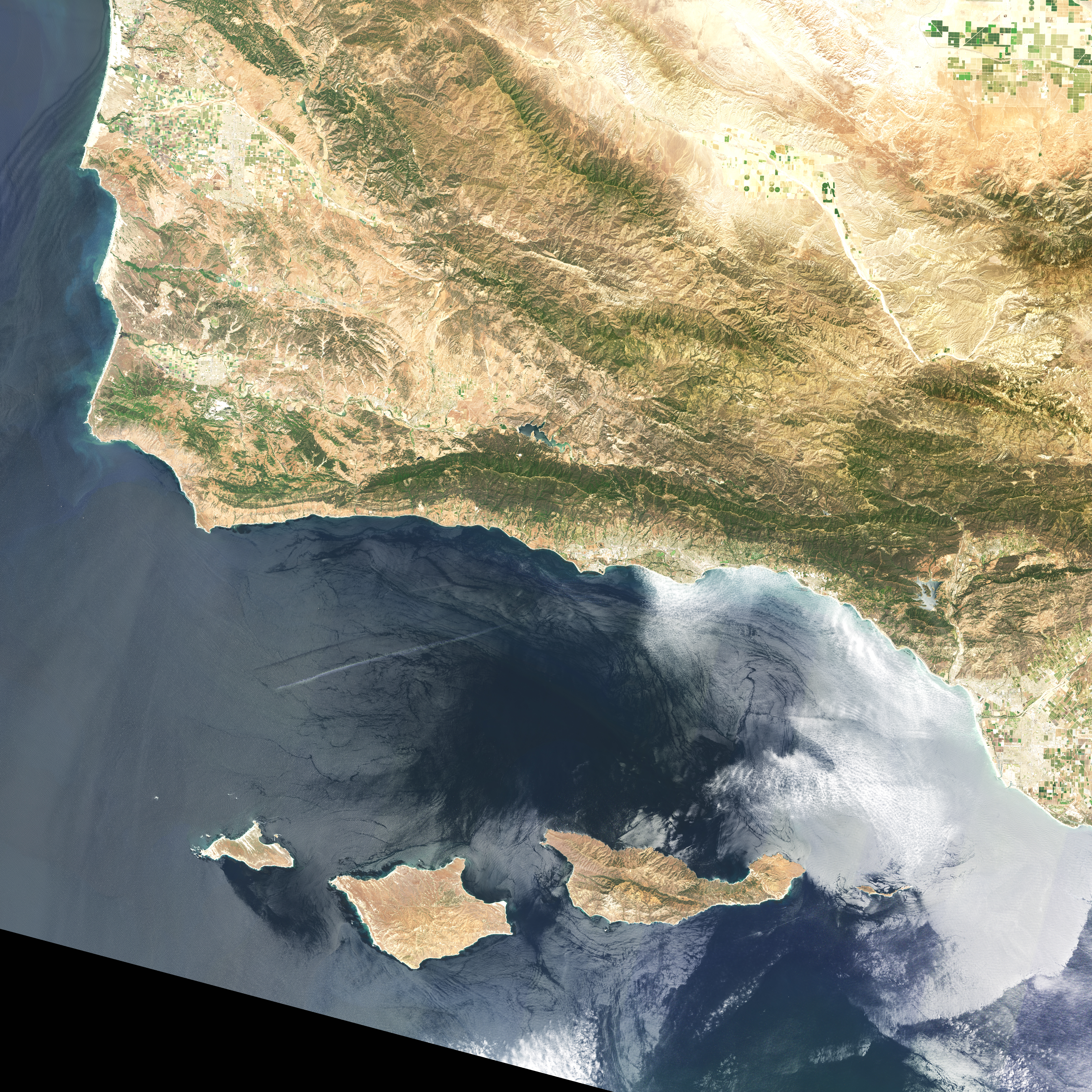
Before anyone can say how much carbon the world’s kelp forests are really capturing, someone has to map where the kelp actually is, and that turns out to be harder than it sounds, since much of it grows underwater, out of satellite view. A 2025 study led by Jennifer McHenry, with more than 20 co-authors across Canadian universities, tackled the problem at a national scale.
The team combined Sentinel-2 satellite detection of surface-visible kelp canopy, gathered between 2015 and 2019, with decades of historical aerial shoreline surveys, then used statistical modeling to estimate how much kelp is likely growing along Canada’s Pacific, Atlantic and Arctic coastlines, including areas too deep or too submerged for satellites to see directly. The Arctic coastline, largely unmapped until now, turned out to hold the majority of the estimated area.
The resulting numbers come with wide error bars by design: a realistic kelp extent of 0.8 to 3.9 million hectares nationally, holding somewhere between 0.6 and 2.8 million tonnes of standing carbon, and capturing 1.1 to 6.2 million tonnes of new carbon each year, of which only a small fraction, 0.04 to 0.4 million tonnes, is estimated to actually reach the deep ocean where it could stay locked away long-term. That puts kelp’s carbon capacity in the same ballpark as better-studied “blue carbon” habitats like salt marshes and mangroves, though the authors are blunt that two of the three carbon pathways they modeled remain poorly constrained. Their next step is pushing for coordinated, standardized kelp monitoring across the country, since right now no single method maps both the surface and subsurface kelp that these estimates depend on.